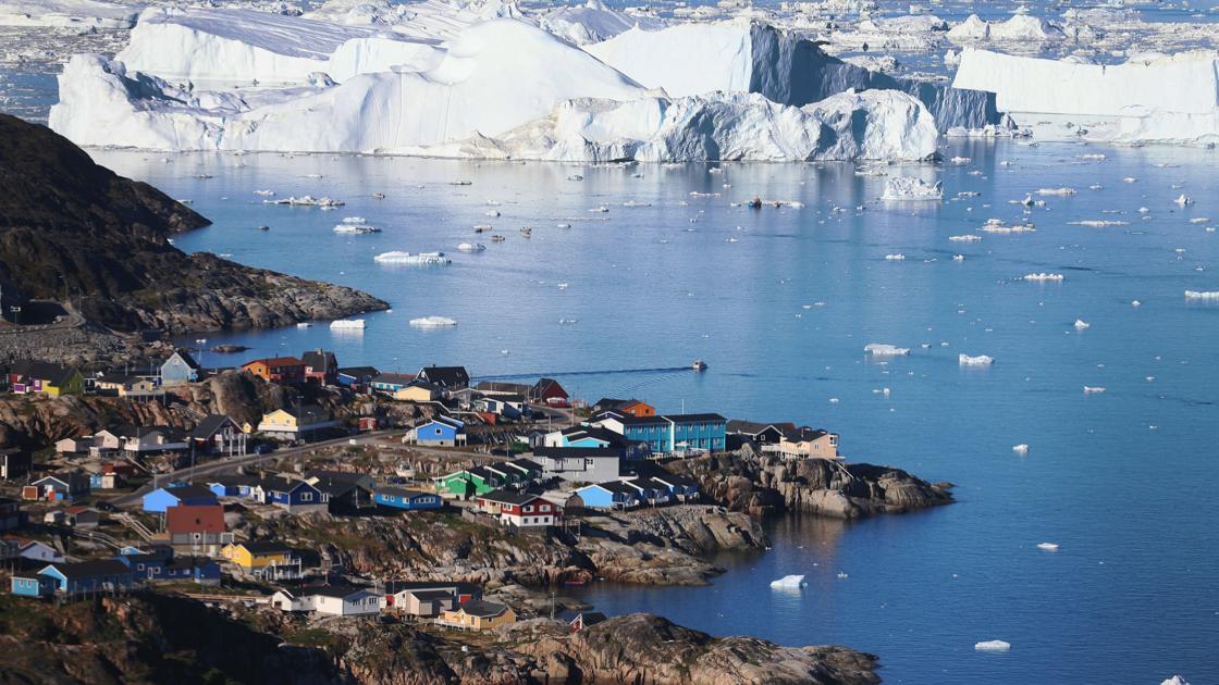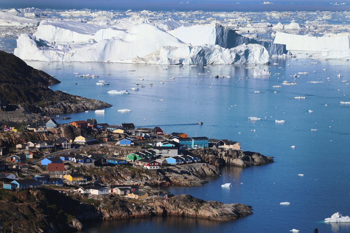

The largest contributor of freshwater ice melt comes from Greenland, where hundreds of millions of tons of ice melt annually.
“All sea level rise is local."
Those words come from NASA’s Jet Propulsion Laboratory/JPL scientist, Alan Buis. He is absolutely correct. As a meteorologist who has had to engage in lots of continuing education in climate science during recent decades, I have learned there is much more to sea level rise causes, trends, and even locations than I’d first thought in the 1990s. First, there is the big picture that shows primary causal links with sea level changes that are common globally.
As with so much in science, sea level rise is complex. The sea surface isn’t really flat, and the rate of rise – which is occurring over most of the globe, but not quite everywhere – is easier to average on a global basis than it is to measure on a more localized basis. As NASA reports, “To begin with, it has multiple causes, including the thermal expansion of the ocean as it warms, runoff of meltwater from land-based ice sheets and mountain glaciers, and changes in water that’s stored on land. These factors combine to raise the height of our global ocean about 3.3 millimeters (0.13 inches) every year. That rate is accelerating by another 1 millimeter per year (0.04 inches per year) every decade or so.”
When global sea levels are broken down regionally with precision satellite and instrumentation data, the irregularities in the rate of rise are striking. NASA’s Scientific Visualization Studio derived this graphic from data gathered over 22 years by NASA and European Space Agency satellites.
It is readily apparent with this type of data how uneven the rates of sea level rise are in reality, rather than the idea of a bathtub growing fuller and fuller uniformly.
Relative sea level refers to levels near coastlines, and their relative heights compared to the coast. The biggest factors in relative sea level include expansion of sea waters due to oceanic warming (all water expands in volume when heated); changes in oceanic circulation (for example, dilution of saline content in parts of the North Atlantic from freshwater ice melting, which in turn can slow ocean circulating currents); increases in water volume from that same melting, and smaller increases from land runoff due to globally averaged higher precipitation rates tied to a warmer, moister atmosphere; and vertical motions of the coastal land, upward or downward. Those land motions can be very significant. While Gulf warming is causing rising sea levels near New Orleans, the rate of land subsidence near the Mississippi Delta is actually a bigger local factor in sea water encroachment. Photographer Frank McMains supplied this photo of sinking Fort Beauregard to NASA.
The coastline sinking in numerous regions can greatly exacerbate the negative impacts of sea level rise. JPL oceanographer and climate scientist Josh Willis says land subsidence is the most important complication: “People in coastal areas need to know what the land is doing right now where they live,” he said. “Is it sinking? If so, how fast? When you combine a sinking coastline with sea level rise caused by other contributing factors, you’re in trouble. Remember, scientists are projecting feet of global-mean sea level rise in this century. But in some places, land can sink by one foot in a decade. We have to understand all of these pieces before we can project future sea level rise at a beach near you.”
Land ice melting from Greenland, Antarctica and glaciers not only adds water volume, but actually causes changes in the earth’s gravitational field. Geophysicists have discovered the gravity changes make subtle alterations in the earth’s rotation, and these changes cause shifts in where sea level rise is greatest, moving more water mass to faraway locations. It’s known when water in Antarctica melts, it can cause greater sea level rise by up to 52% off Florida and California, tied to these shifts. There are two NASA satellites that precisely track these gravitational changes. This is a JPL animation of sea level changes related to gravitational shifts.
The largest contributor of freshwater ice melt comes from Greenland, where hundreds of millions of tons of ice melt annually. As Greenland loses ice mass, the land underneath rises absent that tremendous weight. Because of that rising land, the relative sea level around the Greenland coast is not rising. But the water from Greenland enters the North Atlantic and causes sea level rise elsewhere, where land rise is not a factor. Land vertical motions in other parts of the globe can be related to plate tectonics, compression of sediments, and human activity such as extraction of water, gas and oil from coastal lands leading to subsidence. Cities at greater risk to sea level rise complications brought on by land vertical motion include many very large Asian coastal cities and, in the United States, New York, Miami and New Orleans.
There are also transitory rises linked to such phenomena as El Niño, which shifts vast amounts of warm tropical Pacific water from the western Pacific to the eastern Pacific.
One physical process that is not overly complex is the expansion of water volume from warming.
Since the world’s oceans have been absorbing up to 90% of the warming tied to human activity and greenhouse gases, it should be clear why oceanic volume is increasing globally. In a comparison between measured oceanic heat content averaged from 1955-2006 and the heat content observed in 2018, the trend is obvious.
As with all impacts tied to global warming, regional effects will vary widely from the global average. The amplitude of these effects, however, are tied to global attempts at mitigating human greenhouse gas emissions from industry, transportation and agriculture.
Get local news delivered to your inbox!
August 05, 2020 at 11:30PM
https://ift.tt/3fwFRfU
Don Paul: Sea level rise is a complex issue - Buffalo News
https://ift.tt/2CoSmg4
Sea
/cloudfront-us-east-2.images.arcpublishing.com/reuters/CZF6NULMVVMEXHOP7JK5BSPQUM.jpg)
No comments:
Post a Comment