The period of time when sea levels shot up at the end of the last glacial period, roughly 14,600 years ago, is known as meltwater pulse 1A (MWP-1A). Ever since this pulse was identified from coral records in 1989, the origins of the meltwater have been the subject of debate. Some researchers have hypothesized that Antarctica was the major source of the meltwater, whereas other scientists have suggested that it came from the Northern Hemisphere.
A new study in Nature Communications has concluded that melting ice sheets in North America, followed by Scandinavia, were the dominant drivers of MWP-1A and that the world’s mean sea level rise was 17.9 meters over 500 years.
Sea Level Fingerprinting
To arrive at their conclusion, the international team of researchers used a technique known as sea level fingerprinting. The method stems from the knowledge that when ice sheets lose mass, their gravitational attraction also decreases. Nearby waters move away from the ice sheets, causing regional sea levels to rise faster farther away from the ice. Thus, different regions of the globe have different fingerprints.
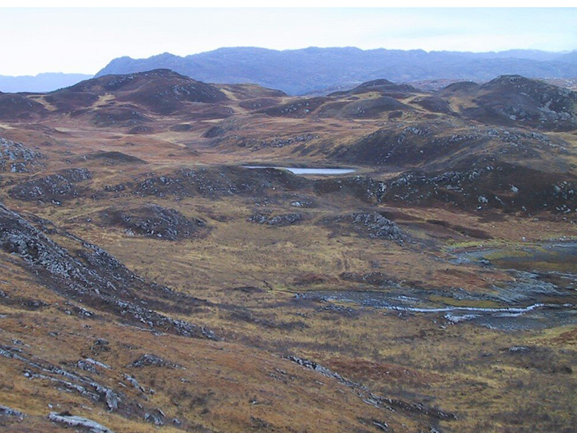
Previous studies of MWP-1A have looked at sea level records in Barbados, Tahiti, and the Sunda Shelf in Southeast Asia. Authors of the new study added sea level data from other sites—the Great Barrier Reef and northwestern Scotland—to give a more robust spatial and temporal perspective on deglaciation. Their analysis of the new sites suggested that seas rose significantly more in the Southern Hemisphere, indicating that 65%–80% of MWP-1A’s meltwater came from the Northern Hemisphere.“In this case, the observed low sea level rise in the Northern Hemisphere supports a major northern contribution with a relatively minor Antarctic contribution,” said coauthor Yucheng Lin, a researcher in the Department of Geography at Durham University. “Also, during the past 10 years, more and more Antarctic field-based glaciological evidence suggests the Antarctic Ice Sheet was relatively stable during MWP-1A,” he added.
Insights on Climate Change Today
Yusuke Yokoyama, a professor at the University of Tokyo’s Atmosphere and Ocean Research Institute who was not involved in the study, said the new research is a possible answer to the question of meltwater sources for MWP-1A, but that the debate is far from over.
Previous studies that analyzed data from Tahiti, Barbados, and the Sunda Shelf are reliable, according to Yokoyama, because they are based on uranium series dating. Data in the new study that came from the Great Barrier Reef and Scotland are based on a radiocarbon dating method, which “requires caution in interpreting the timing, particularly during the deglaciation,” Yokoyama said.
The study’s researchers said they were careful to use the updated method of calibrating the radiocarbon timescale. “This process will produce some complicated uncertainties regarding the dating results, and we have used some statistical techniques to fully capture those uncertainties. In this case, our results considered those uncertainties carefully,” said Lin.In the future, the researchers want to study more sea level sites to better understand MWP-1A. They also want to see how they can use their results to replicate climate changes during the event, said Pippa Whitehouse, one of the study’s coauthors and an associate professor of geography at Durham University. A better understanding of MWP-1A could yield insights into global ocean circulation behavior under rapid freshwater discharge and could provide better predictions of future climate change.
“We hope that our study will help climate modelers and paleoscientists piece together the impact of this event, with clear parallels for understanding the impact of increasing melt from the Greenland Ice Sheet today,” said Whitehouse.
—Tim Hornyak (@robotopia), Science Writer
The Link LonkJune 02, 2021 at 07:17PM
https://ift.tt/3idVuOa
An Ancient Meltwater Pulse Raised Sea Levels by 18 Meters - Eos
https://ift.tt/2CoSmg4
Sea
/cloudfront-us-east-2.images.arcpublishing.com/reuters/CZF6NULMVVMEXHOP7JK5BSPQUM.jpg)
No comments:
Post a Comment